-
 ×
- Strona główna
- Wydruki ▸
- Artyści ▸
- Kategorie ▸
- Style sztuki ▸
- Rama ▸
- Nośniki druku ▸
- Wszystkie nośniki druku
- Płótno Leonardo (satyna)
- Płótno Salvador (matowe)
- Płótno Rafael (matowe)
- FineArt - Foto matowy
- FineArt - Foto satyna
- FineArt - Foto baryt
- FineArt - Foto błyszczący
- Tektura akwarelowa Munch
- Tektura akwarelowa Renoir
- Tektura akwarelowa Turner
- Tektura akwarelowa Dürer
- Natural Line Hemp
- Natural Line Rice
- Kozo White, 110g
- Kozo Natural, 110g
- Inbe White, 125g
- Unryu, 55g
- Bamboo, 110g
- Premio Unryu, 165g
- Murakumo Natural, 42g
- Bizan Natural, 300g
- Bizan White, 300g
- Kompozyt aluminiowy 3mm
- Szkło akrylowe 5mm
- Zamów zestaw próbek
- Które medium druku pasuje?
Płótno
Papier fotograficzny
Karton akwarelowy
Natural Line
Papier japoński
Media specjalne
Więcej informacji
- Pomoc i serwis ▸
- Skontaktuj się z nami
- Sprzedaj swoją sztukę
- Najczęściej zadawane pytania
- Oferty pracy
- Reklamacja
- Zamów próbki
- Zamów vouchery
- Koszty wysyłki
- Czas produkcji
- Zrównoważony rozwój
- Wyszukiwanie obrazów
- Specjalne życzenia
- Kim jesteśmy?
- Polityka cenowa
- Polityka firmy
- Obietnica jakości
- Wyróżnienia
- Blejtram
- Passe-partout
- Ramki dekoracyjne
- Szklenie
- Listwy
- Systemy montażowe
- Nośniki druku
- Wskazówki pielęgnacyjne
- Stopka redakcyjna
- Regulamin
- Ochrona danych
- Prawo do odstąpienia od umowy
Informacje i usługi
Więcej informacji
Warto wiedzieć
Informacje prawne
- Sklep ▸
- Kontakt





 Zobacz w 3D / AR
 Dodaj do ulubionych
 Wybierz kolor ściany
 Widok obrazu w pomieszczeniu
.jpg "د بمبی پریزیډینسی، 1890 پولی")
.jpg "Sycylia, Włochy (grawerowanie")
.jpg "Mapa południowej Norwegii, nie tytuł")
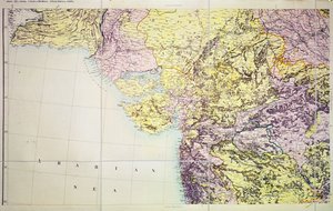
.jpg "Mapa Cutch i Kathiawar, opublikowana pod kierownictwem pułkownika G.C. de Pree, SC, Główny Geodeta Indii, 1885")
.jpg "Mapa drogowa Norwegii")
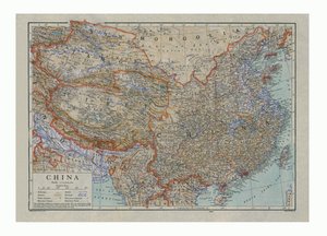
.jpg "Mapa Kutch and Runn, Indie, 1854")

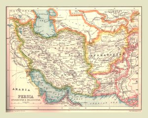
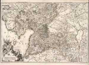

.jpg "Niemcy (grawerowanie")
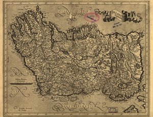
.jpg "Mapa Indii, 1877")
.jpg "Mapa Konstantynopola i okolic, 1855-63")
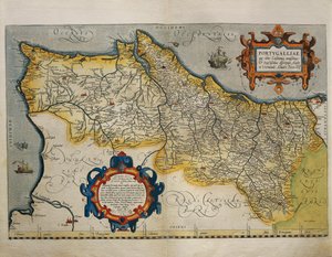
.jpg "Belgia (grawerowanie")
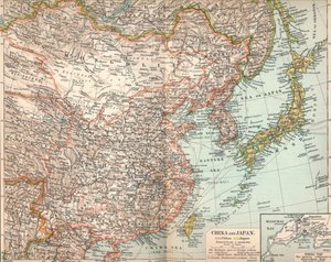
.jpg "Mapa Wandei przedstawiająca obszar powstania w Wandei (1793-96) w marcu 1793 roku, około 1815")
 from John Speeds Theatre of the Empire of Great Britain pub by John Sudbury and George Humble 1611-12 (hand coloured copp - (MeisterDrucke-64003).jpg "Countye Palatine of Chester, ryty przez Jodocusa Hondiusa (1563-1612) z „Teatru Imperium Wielkiej Brytanii” Johna Speeda, wyd. autorstwa Johna Sudbury i George")
.jpg "Abruzja i Kampania, Włochy (Grawerowanie")
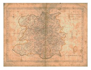
 - (MeisterDrucke-95288).jpg "Mapa Palestyny, z Theatrum Orbis Terrarum, 1570")
.jpg "Alzacja, Niemcy (grawerowanie")
.jpg "Wyspa umarłych")
.jpg "Wielki czerwony smok i niewiasta obleczona w słońce")
.jpg "Napoleon przekraczający Alpy")
.jpg "Pigwa, kapusta, melon i ogórek, ok. 1602")
.jpg "Port w Trieście")
.jpg "W Sierra Nevada w Kalifornii")
.jpg "Stojący półakt w brązowej koszuli")

 +43 4257 29415
 support@meisterdrucke.com
 Mo-Do: 7:00 - 16:00 | Fr: 7:00 - 13:00