-
 ×
- Strona główna
- Wydruki ▸
- Artyści ▸
- Kategorie ▸
- Style sztuki ▸
- Rama ▸
- Nośniki druku ▸
- Wszystkie nośniki druku
- Płótno Leonardo (satyna)
- Płótno Salvador (matowe)
- Płótno Rafael (matowe)
- FineArt - Foto matowy
- FineArt - Foto satyna
- FineArt - Foto baryt
- FineArt - Foto błyszczący
- Tektura akwarelowa Munch
- Tektura akwarelowa Renoir
- Tektura akwarelowa Turner
- Tektura akwarelowa Dürer
- Natural Line Hemp
- Natural Line Rice
- Kozo White, 110g
- Kozo Natural, 110g
- Inbe White, 125g
- Unryu, 55g
- Bamboo, 110g
- Premio Unryu, 165g
- Murakumo Natural, 42g
- Bizan Natural, 300g
- Bizan White, 300g
- Kompozyt aluminiowy 3mm
- Szkło akrylowe 5mm
- Zamów zestaw próbek
- Które medium druku pasuje?
Płótno
Papier fotograficzny
Karton akwarelowy
Natural Line
Papier japoński
Media specjalne
Więcej informacji
- Pomoc i serwis ▸
- Skontaktuj się z nami
- Sprzedaj swoją sztukę
- Najczęściej zadawane pytania
- Oferty pracy
- Reklamacja
- Zamów próbki
- Zamów vouchery
- Koszty wysyłki
- Czas produkcji
- Zrównoważony rozwój
- Wyszukiwanie obrazów
- Specjalne życzenia
- Kim jesteśmy?
- Polityka cenowa
- Polityka firmy
- Obietnica jakości
- Wyróżnienia
- Blejtram
- Passe-partout
- Ramki dekoracyjne
- Szklenie
- Listwy
- Systemy montażowe
- Nośniki druku
- Wskazówki pielęgnacyjne
- Stopka redakcyjna
- Regulamin
- Ochrona danych
- Prawo do odstąpienia od umowy
Informacje i usługi
Więcej informacji
Warto wiedzieć
Informacje prawne
- Sklep ▸
- Kontakt





 Zobacz w 3D / AR
 Dodaj do ulubionych
 Wybierz kolor ściany
 Widok obrazu w pomieszczeniu
.jpg "Ms. 986, Vol.1 Plan i mapa Cambrai, z")
.jpg "Ms. 988, t. 3 k. 16 Plan i mapa miasta i zamku Sedan, z Atlasu Ludwik XIV, 1683-88")
.jpg "Ms 988 tom 3 fol.45 Plan i mapa miasta i cytadeli Bayonne, z")
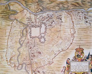
.jpg "Хатагтай 988, 3-р боть, 38-р боть, Рошефорт болон түүний эргэн тойрон дахь төлөвлөгөө,")
.jpg "Gandawa, Belgia, Husson P., B&W")
.jpg "Ms. 988, t. 3 k.10 Mapa Saint-Quentin, z")


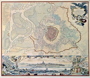
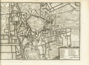
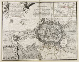
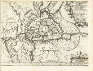
.jpg "د لیزیل پلان، 1736 پولی")
.jpg "Oblężenie Leuven przez wojska holenderskie i francuskie 1635")
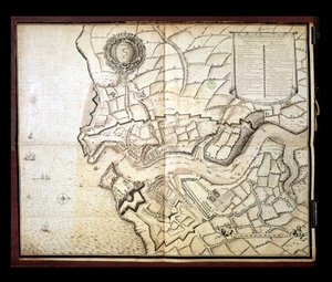
 - (MeisterDrucke-89333).jpg "Mapa Cochin, Indie (atrament na papierze)")
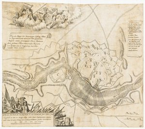
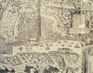
.jpg "Ms 988 tom 3 fol.33 Plan miasta i cytadeli Bellisle, z \"Atlasu Ludwika XIV\", 1683-88")

.jpg "Mapa miasta Rzymu, rytowana przez artystę, 1557")
.jpg "Carta nad Friderichstad z jego sytuacją, jaka jest po")
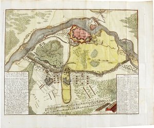
.jpg "Ms 988 tom 3 fol.49 Plan i mapa Saint-Jean-Pied-de-Port, z \"Atlasu Ludwika XIV\", 1683-88")
.jpg "Plan bitwy pod Minden, narysowany przez kapitana Williama Roya i wygrawerowany przez Thomasa Majora, 1760")
.jpg "Rękopis 986, t. 1, „Atlas Ludwika XIV”, mapa Collioure, 1683-88")
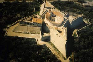
.jpg "Ms. 986, t. 3, fol. 63, plan i mapa Tulonu, z „Atlasu Ludwika XIV”, 1683-88")
.jpg "Ms 988 t. 3 fol. 29, mapa i plan Saint-Malo, z „Atlasu Ludwika XIV”, 1683-88")
.jpg "Rękopis 988, tom 3, fol. 61 „Atlas Ludwika XIV”, mapa i plan Marsylii, 1683-88")
 - (MeisterDrucke-75582).jpg "Mapa Paryża i jego okolic, z „Oisivetés”")
 - (MeisterDrucke-94842).jpg "Pani 988 T. III fol. 42 Mapa okolic miasta i zamku Oléron z Atlasu Ludwika XIV (pióro, atrament i gwasz na papierze)")
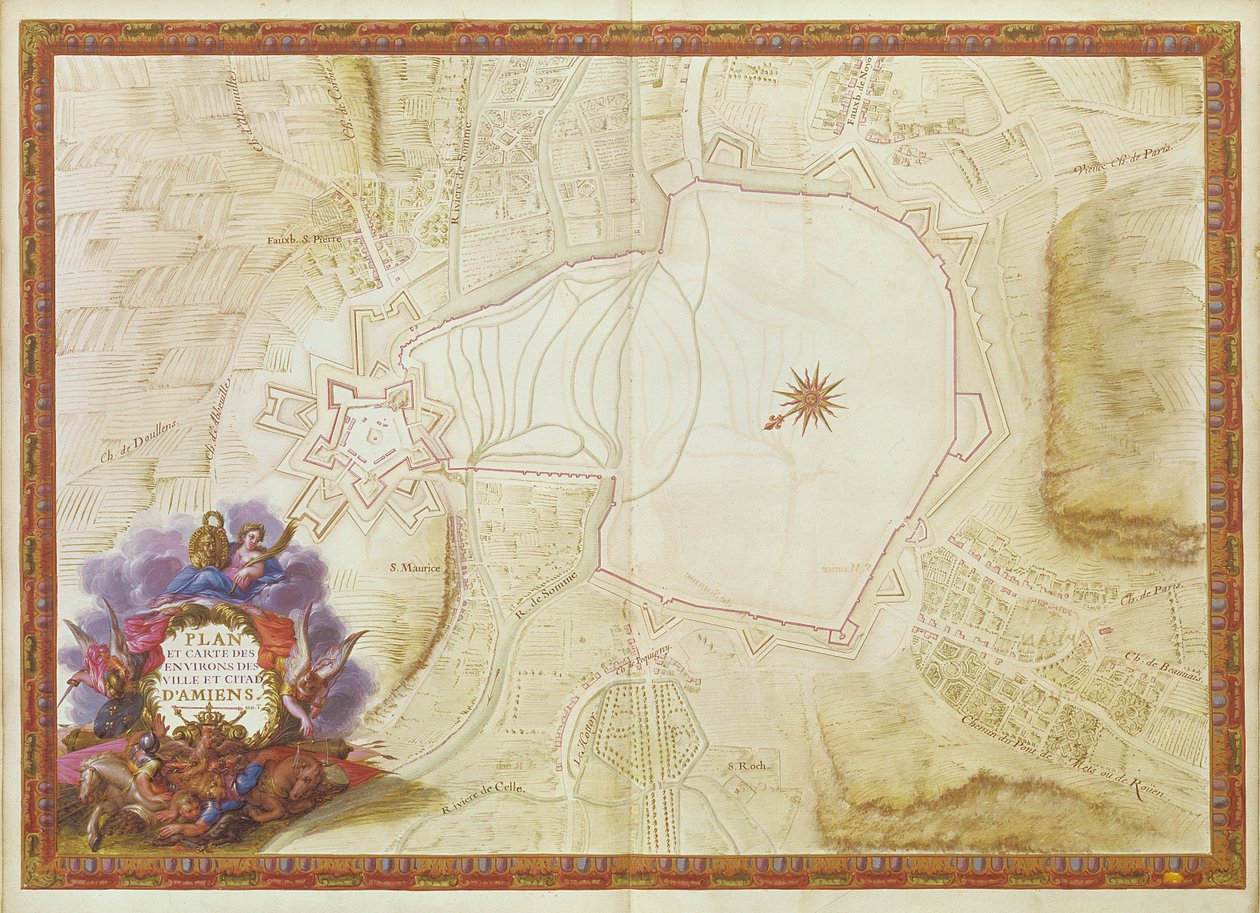
.jpg "Rękopis 988, t. 3, fol. 7 Plan i mapa miasta, cytadeli oraz okolic Amiens, z „Atlasu Ludwika XIV”, 1683-88")
.jpg "Ms 988, tom 3, fol. 31: mapa Concarneau, z „Atlas Louis XIV”, 1683-88")
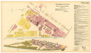
.jpg "Mapa i fortyfikacje Neuf-Brisach")
 - (MeisterDrucke-90593).jpg "Mapa przedstawiająca podróż Magellana dookoła świata, niegdyś należąca do Karola V, 1545")
.jpg "Septentrionalium terrarum descriptio, mapa Arktyki, 1595")
.jpg "Fol. 39v Mapa Cieśniny Magellana, z „Cosmographie Universelle”, 1555")
 - (MeisterDrucke-41908).jpg "Mapa wybrzeża Anglii i Walii, tablica z ’A Compleat Sett of Mapps of England and Wales in General...’, 1724")
 published 1776 (hand coloured engraving) - (MeisterDrucke-187836).jpg "Mapa Zatoki Neapolitańskiej i okolic z „Campi Phlegraei: Obserwacje dotyczące wulkanów Obojga Sycylii” autorstwa sir Williama Hamiltona (1730-1803), wydana w 1776 roku")
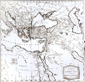
.jpg "Wojownik Susquehannock, fragment z Mapy Wirginii, grawerowany przez Williama Hole")
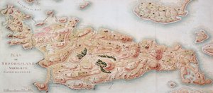
 pub by Joannes Janssonius Amsterdam 1660-6 - (MeisterDrucke-215663).jpg "Mapa przedstawiająca ruch Ziemi i planet, z „Atlasu niebiańskiego, czyli harmonii wszechświata” (Atlas coelestis seu harmonia macrocosmica), wydanego przez Joannesa Janssoniusa, Amsterdam, 1660-6")
.jpg "Mapa Filadelfii, z atlasu Stanów Zjednoczonych, 1824")

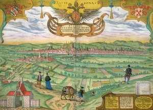
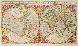
.jpg "Wiosna, dziewczyna zbierająca kwiaty, z willi Varano w Stabiach, ok. 15 p.n.e.-60 n.e.")

.jpg "Przecinające się linie, 1923")
.jpg "Kwitnący ogród przed domem")
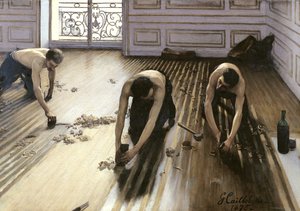
.jpg "Sen architekta")
.jpg "Pandemonium, 1841")
.jpg "Kobiety z Galicji przy oknie, około 1655-1660")
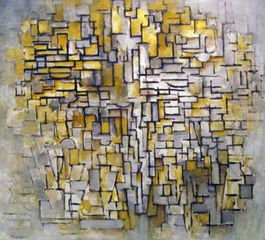
.jpg "Narodziny Wenus")

 +43 4257 29415
 support@meisterdrucke.com
 Mo-Do: 7:00 - 16:00 | Fr: 7:00 - 13:00