-
 ×
- Strona główna
- Wydruki ▸
- Artyści ▸
- Kategorie ▸
- Style sztuki ▸
- Rama ▸
- Nośniki druku ▸
- Wszystkie nośniki druku
- Płótno Leonardo (satyna)
- Płótno Salvador (matowe)
- Płótno Rafael (matowe)
- FineArt - Foto matowy
- FineArt - Foto satyna
- FineArt - Foto baryt
- FineArt - Foto błyszczący
- Tektura akwarelowa Munch
- Tektura akwarelowa Renoir
- Tektura akwarelowa Turner
- Tektura akwarelowa Dürer
- Natural Line Hemp
- Natural Line Rice
- Kozo White, 110g
- Kozo Natural, 110g
- Inbe White, 125g
- Unryu, 55g
- Bamboo, 110g
- Premio Unryu, 165g
- Murakumo Natural, 42g
- Bizan Natural, 300g
- Bizan White, 300g
- Kompozyt aluminiowy 3mm
- Szkło akrylowe 5mm
- Zamów zestaw próbek
- Które medium druku pasuje?
Płótno
Papier fotograficzny
Karton akwarelowy
Natural Line
Papier japoński
Media specjalne
Więcej informacji
- Pomoc i serwis ▸
- Skontaktuj się z nami
- Sprzedaj swoją sztukę
- Najczęściej zadawane pytania
- Oferty pracy
- Reklamacja
- Zamów próbki
- Zamów vouchery
- Koszty wysyłki
- Czas produkcji
- Zrównoważony rozwój
- Wyszukiwanie obrazów
- Specjalne życzenia
- Kim jesteśmy?
- Polityka cenowa
- Polityka firmy
- Obietnica jakości
- Wyróżnienia
- Blejtram
- Passe-partout
- Ramki dekoracyjne
- Szklenie
- Listwy
- Systemy montażowe
- Nośniki druku
- Wskazówki pielęgnacyjne
- Stopka redakcyjna
- Regulamin
- Ochrona danych
- Prawo do odstąpienia od umowy
Informacje i usługi
Więcej informacji
Warto wiedzieć
Informacje prawne
- Sklep ▸
- Kontakt





 Zobacz w 3D / AR
 Dodaj do ulubionych
 Wybierz kolor ściany
 Widok obrazu w pomieszczeniu
.jpg "Flandria, Belgia (grawerowanie")
.jpg "Ms 988 tom 3 fol.33 Plan miasta i cytadeli Bellisle, z \"Atlasu Ludwika XIV\", 1683-88")
.jpg "Ms 988 tom 3 fol.31 Mapa Concarneau, z \"Atlasu Ludwika XIV\", 1683-88")
 - (MeisterDrucke-94842).jpg "Pani 988 T. III fol. 42 Mapa okolic miasta i zamku Oléron z Atlasu Ludwika XIV (pióro, atrament i gwasz na papierze)")
.jpg "Ms. 986 Atlas 1081 Plan i mapa miasta, cytadeli i okolic Mont-Louis, 1665")
.jpg "Północna część Jutlandii, Skandynawia (grafika")
 - (MeisterDrucke-638117).jpg "Fort Rosalie des Natchez (wc na papierze)")
.jpg "Ms. 986, tom 1")
.jpg "Ms. 986, Vol.1 Plan i mapa Cambrai, z")
.jpg "Ms 988 tom 3 fol.49 Plan i mapa Saint-Jean-Pied-de-Port, z \"Atlasu Ludwika XIV\", 1683-88")
.jpg "Katalonia, Hiszpania (grawerowanie")
.jpg "Zelandia, Holandia (grawerowanie")
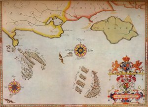
.jpg "Mapa nr 10 przedstawiająca trasę floty Armady, rytowana przez Augustyna Rythera, 1588")
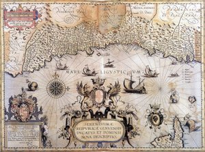
.jpg "Ms. 988, t. 3 k.10 Mapa Saint-Quentin, z")
.jpg "Afryka Północno-Zachodnia z Wyspami Kanaryjskimi (grawerowanie")
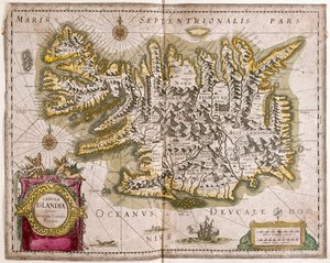
.jpg "Półwysep Arabski")
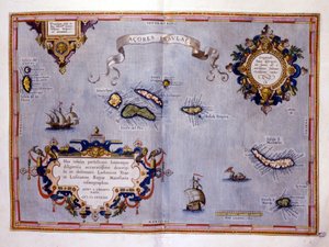
.jpg "Sri Lanka (grawerowanie")

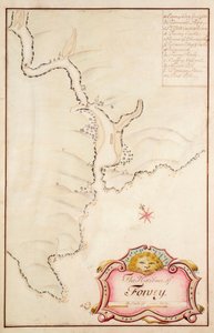
.jpg "Ms 988, tom 3, fol. 45, plan i mapa miasta oraz cytadeli Bayonne, z")
.jpg "Rękopis 988, tom 3, fol. 61 „Atlas Ludwika XIV”, mapa i plan Marsylii, 1683-88")
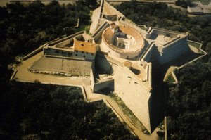
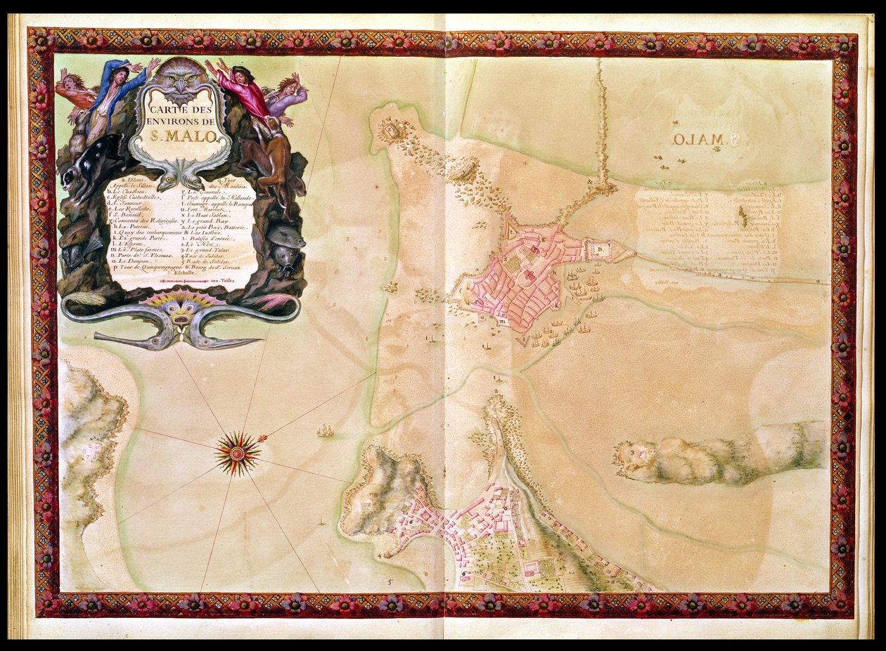
.jpg "Ms 988 t. 3 fol. 29, mapa i plan Saint-Malo, z „Atlasu Ludwika XIV”, 1683-88")
.jpg "Ms. 988, Vol.3 fol.7 Plan i plan miasta, cytadeli i okolic Amiens, z")
.jpg "Хатагтай 988, 3-р боть, 38-р боть, Рошефорт болон түүний эргэн тойрон дахь төлөвлөгөө,")
.jpg "Ms. 986, tom 3 fol.63 Plan i mapa Tulonu, z")
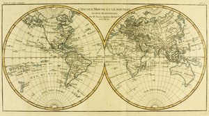
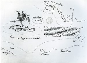

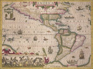

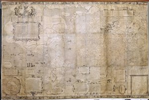
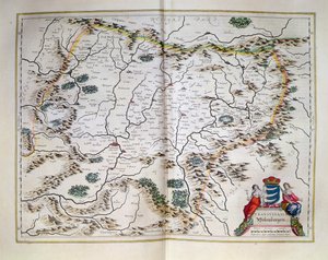
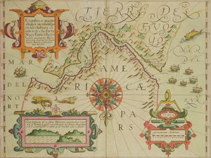
.jpg "Falklandy i Patagonia, z serii map świata opublikowanej przez John Tallis und Co., Nowy Jork i Londyn, lata 50. XIX wieku")

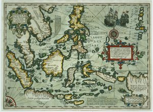
.jpg "Ms Ital 550.0.3.15 fol.2r Mapa Europy, z „Carte Geografiche”")
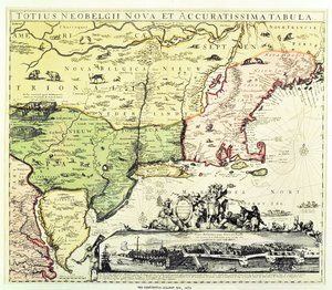
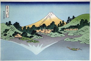
.jpg "Kozacy zaporoscy piszą list do sułtana tureckiego, 1890-91")
.jpg "Melencolia I")
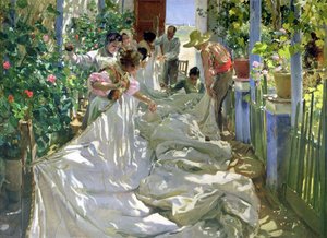
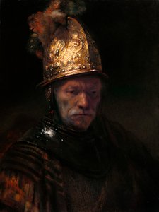
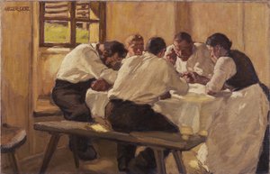
 1573 - (MeisterDrucke-92540).jpg "Jesień, z serii przedstawiającej cztery pory roku, zamówionej przez cesarza Maksymiliana II (1527-76), 1573")
 - (MeisterDrucke-770).jpg "Trójca Święta (Troica)")
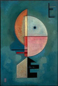
.jpg "Akwarela nr 326")
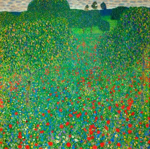
.jpg "Pies leżący na śniegu")
.jpg "Sheerness widziane od strony Nore")
.jpg "Wóz z sianem")

 +43 4257 29415
 support@meisterdrucke.com
 Mo-Do: 7:00 - 16:00 | Fr: 7:00 - 13:00