-
 ×
- Strona główna
- Wydruki ▸
- Artyści ▸
- Kategorie ▸
- Style sztuki ▸
- Rama ▸
- Nośniki druku ▸
- Wszystkie nośniki druku
- Płótno Leonardo (satyna)
- Płótno Salvador (matowe)
- Płótno Rafael (matowe)
- FineArt - Foto matowy
- FineArt - Foto satyna
- FineArt - Foto baryt
- FineArt - Foto błyszczący
- Tektura akwarelowa Munch
- Tektura akwarelowa Renoir
- Tektura akwarelowa Turner
- Tektura akwarelowa Dürer
- Natural Line Hemp
- Natural Line Rice
- Kozo White, 110g
- Kozo Natural, 110g
- Inbe White, 125g
- Unryu, 55g
- Bamboo, 110g
- Premio Unryu, 165g
- Murakumo Natural, 42g
- Bizan Natural, 300g
- Bizan White, 300g
- Kompozyt aluminiowy 3mm
- Szkło akrylowe 5mm
- Zamów zestaw próbek
- Które medium druku pasuje?
Płótno
Papier fotograficzny
Karton akwarelowy
Natural Line
Papier japoński
Media specjalne
Więcej informacji
- Pomoc i serwis ▸
- Skontaktuj się z nami
- Sprzedaj swoją sztukę
- Najczęściej zadawane pytania
- Oferty pracy
- Reklamacja
- Zamów próbki
- Zamów vouchery
- Koszty wysyłki
- Czas produkcji
- Zrównoważony rozwój
- Wyszukiwanie obrazów
- Specjalne życzenia
- Kim jesteśmy?
- Polityka cenowa
- Polityka firmy
- Obietnica jakości
- Wyróżnienia
- Blejtram
- Passe-partout
- Ramki dekoracyjne
- Szklenie
- Listwy
- Systemy montażowe
- Nośniki druku
- Wskazówki pielęgnacyjne
- Stopka redakcyjna
- Regulamin
- Ochrona danych
- Prawo do odstąpienia od umowy
Informacje i usługi
Więcej informacji
Warto wiedzieć
Informacje prawne
- Sklep ▸
- Kontakt




 Zobacz w 3D / AR
 Dodaj do ulubionych
 Wybierz kolor ściany
 Widok obrazu w pomieszczeniu
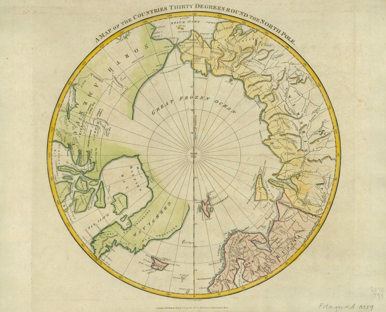
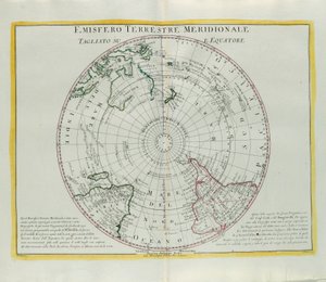
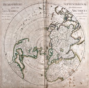
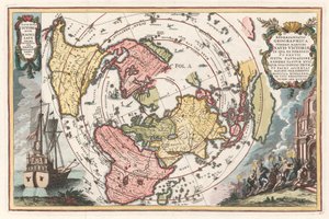
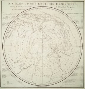
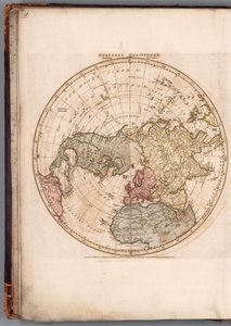
.jpg "Półkula północna, aby wyraźniej zobaczyć arktyczne ziemie")
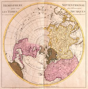
.jpg "Mapa półkuli północnej, opis lądu arktycznego (silna woda)")
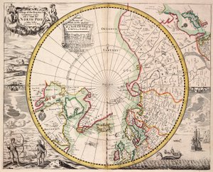
 og viser Nordpolen Nordomrdene - (MeisterDrucke-543346).jpg "Mapa została opublikowana w (1628) i przedstawia biegun północny, daleką północ")
 - (MeisterDrucke-61569).jpg "Mapa bieguna północnego")
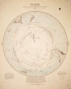
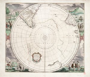
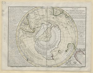
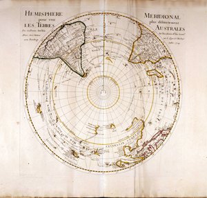
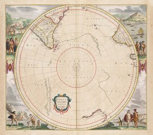
.jpg "Polus Antarktyda, 1656")
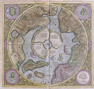
.jpg "Septentrionalium Terrarum descriptio, 1595")

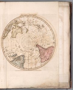
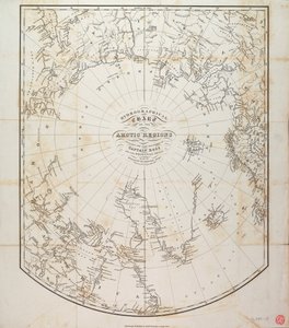
.jpg "Mapa regionów arktycznych z badań Admiralicji, wydanie trzecie, ok. 1854 r. (rycina)")
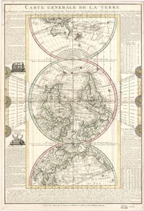
 pub by Joannes Janssonius Amsterdam 1660-1 (engravi - (MeisterDrucke-197848).jpg "Starożytne półkule świata, tablica 94 z \"Atlasu niebieskiego, czyli harmonii wszechświata\" (Atlas coelestis seu harmonia macrocosmica) wyd. przez Joannesa Janssoniusa, Amsterdam, 1660-1 (ryc.")
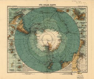
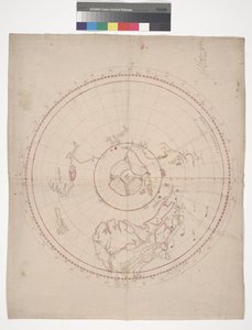
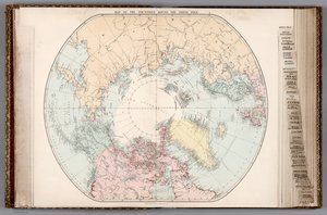
.jpg "Mapa nowych odkryć na północ od Mórz Południowych, 1750")

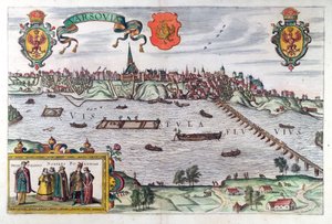
.jpg "Mapa Wilna na Litwie, z „Civitates Orbis Terrarum” Georga Brauna (1541-1622) i Fransa Hogenberga (1535-90), ok. 1572-1617")

 - (MeisterDrucke-79146).jpg "Mapa Islandii (kolorowa grawerunek)")
.jpg "Fol. 34v, Mapa Australii, z „Cosmographie Universelle”, 1555")
.jpg "Mapa Essex, 160203")
 c1574-75 - (MeisterDrucke-58063).jpg "Mapa Europy z XVI wieku, z")
.jpg "Mapa Imperium Osmańskiego, z „Atlas Novus”")
.jpg "د هند نقشه، 1865 پولی")
.jpg "Karta 54v Florydy, z „Cosmographie Universelle”, 1555")


.jpg "Danae, 1891")
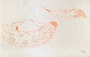
 - (MeisterDrucke-56929).jpg "Kuszenie świętego Antoniego, prawy panel, detal pary jadącej na rybie")
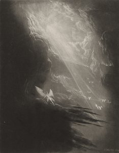
.jpg "Staw z liliami wodnymi wieczorem")
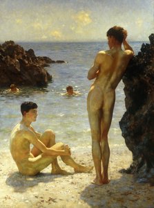
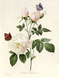
.jpg "Portret damy")
.jpg "Róże, czyli żona artysty w ogrodzie w Skagen")

 +43 4257 29415
 support@meisterdrucke.com
 Mo-Do: 7:00 - 16:00 | Fr: 7:00 - 13:00