-
 ×
- Strona główna
- Wydruki ▸
- Artyści ▸
- Kategorie ▸
- Style sztuki ▸
- Rama ▸
- Nośniki druku ▸
- Wszystkie nośniki druku
- Płótno Leonardo (satyna)
- Płótno Salvador (matowe)
- Płótno Rafael (matowe)
- FineArt - Foto matowy
- FineArt - Foto satyna
- FineArt - Foto baryt
- FineArt - Foto błyszczący
- Tektura akwarelowa Munch
- Tektura akwarelowa Renoir
- Tektura akwarelowa Turner
- Tektura akwarelowa Dürer
- Natural Line Hemp
- Natural Line Rice
- Kozo White, 110g
- Kozo Natural, 110g
- Inbe White, 125g
- Unryu, 55g
- Bamboo, 110g
- Premio Unryu, 165g
- Murakumo Natural, 42g
- Bizan Natural, 300g
- Bizan White, 300g
- Kompozyt aluminiowy 3mm
- Szkło akrylowe 5mm
- Zamów zestaw próbek
- Które medium druku pasuje?
Płótno
Papier fotograficzny
Karton akwarelowy
Natural Line
Papier japoński
Media specjalne
Więcej informacji
- Pomoc i serwis ▸
- Skontaktuj się z nami
- Sprzedaj swoją sztukę
- Najczęściej zadawane pytania
- Oferty pracy
- Reklamacja
- Zamów próbki
- Zamów vouchery
- Koszty wysyłki
- Czas produkcji
- Zrównoważony rozwój
- Wyszukiwanie obrazów
- Specjalne życzenia
- Kim jesteśmy?
- Polityka cenowa
- Polityka firmy
- Obietnica jakości
- Wyróżnienia
- Blejtram
- Passe-partout
- Ramki dekoracyjne
- Szklenie
- Listwy
- Systemy montażowe
- Nośniki druku
- Wskazówki pielęgnacyjne
- Stopka redakcyjna
- Regulamin
- Ochrona danych
- Prawo do odstąpienia od umowy
Informacje i usługi
Więcej informacji
Warto wiedzieć
Informacje prawne
- Sklep ▸
- Kontakt


 Zobacz w 3D / AR
 Dodaj do ulubionych
 Wybierz kolor ściany
 Widok obrazu w pomieszczeniu
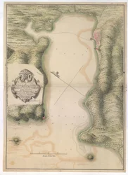
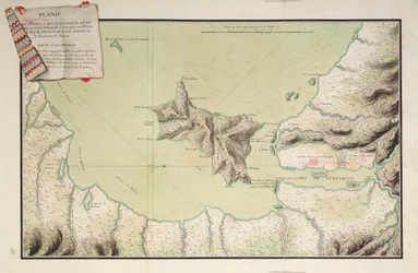
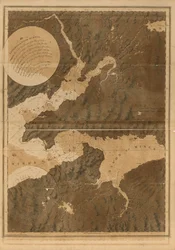
_(Engraving_-_(MeisterDrucke-971666).webp "Mapa Tulonu (Francja) (Grawerowanie")

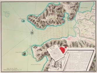
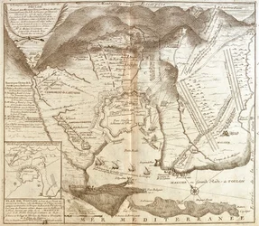
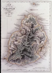
.webp "Mapa Cabo de Good Hope")
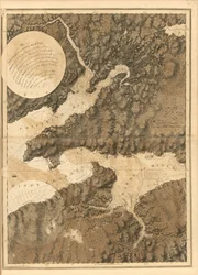
.webp "Szkic działań przed Charlestown, stolicą Karoliny Południowej, ok. 1780 r.")
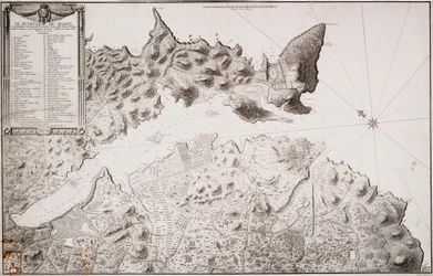
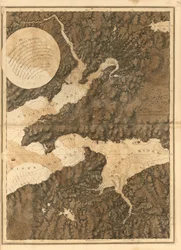
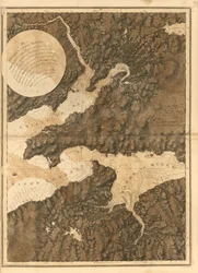

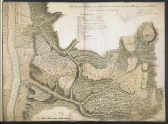
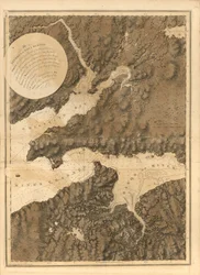
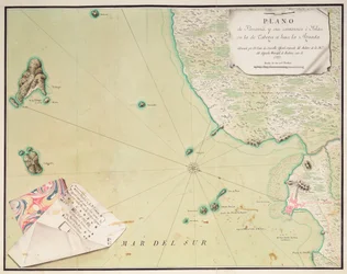
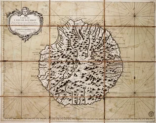
.webp "Plan okolic English Harbour, Antigua, ok. 1782 r. (tusz i pył, segmenty i tło)")
 1814 - (MeisterDrucke-70081).webp "Mapa wyspy Elba, rytowana przez Jean-Baptiste")
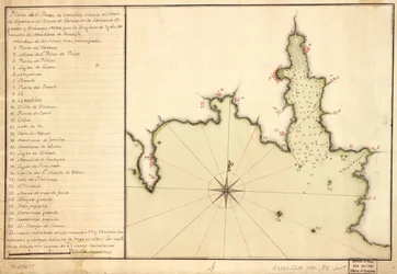


.webp "Wołowina: schemat przedstawiający różne kawałki mięsa")

.webp "Tarcza Achillesa według opisu w Iliadzie Homera, 1815")


.webp "„Człowiek o sześciu głowach”, karykatura Charlesa Maurice")

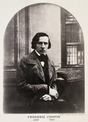



.webp "Bukiet słoneczników, 1881")
.webp "Jezioro Genewskie z Mont Blanc w blasku poranka")
.webp "Nimfy i satyr")


.webp "Udręka")
.webp "Autoportret w futrze")
.webp "Dwanaście słoneczników w wazonie")

.webp "Portret młodej kobiety")

 +43 4257 29415
 support@meisterdrucke.com
 Mo-Do: 7:00 - 16:00 | Fr: 7:00 - 13:00