-
 ×
- Strona główna
- Wydruki ▸
- Artyści ▸
- Kategorie ▸
- Style sztuki ▸
- Rama ▸
- Nośniki druku ▸
- Wszystkie nośniki druku
- Płótno Leonardo (satyna)
- Płótno Salvador (matowe)
- Płótno Rafael (matowe)
- FineArt - Foto matowy
- FineArt - Foto satyna
- FineArt - Foto baryt
- FineArt - Foto błyszczący
- Tektura akwarelowa Munch
- Tektura akwarelowa Renoir
- Tektura akwarelowa Turner
- Tektura akwarelowa Dürer
- Natural Line Hemp
- Natural Line Rice
- Kozo White, 110g
- Kozo Natural, 110g
- Inbe White, 125g
- Unryu, 55g
- Bamboo, 110g
- Premio Unryu, 165g
- Murakumo Natural, 42g
- Bizan Natural, 300g
- Bizan White, 300g
- Kompozyt aluminiowy 3mm
- Szkło akrylowe 5mm
- Zamów zestaw próbek
- Które medium druku pasuje?
Płótno
Papier fotograficzny
Karton akwarelowy
Natural Line
Papier japoński
Media specjalne
Więcej informacji
- Pomoc i serwis ▸
- Skontaktuj się z nami
- Sprzedaj swoją sztukę
- Najczęściej zadawane pytania
- Oferty pracy
- Reklamacja
- Zamów próbki
- Zamów vouchery
- Koszty wysyłki
- Czas produkcji
- Zrównoważony rozwój
- Wyszukiwanie obrazów
- Specjalne życzenia
- Kim jesteśmy?
- Polityka cenowa
- Polityka firmy
- Obietnica jakości
- Wyróżnienia
- Blejtram
- Passe-partout
- Ramki dekoracyjne
- Szklenie
- Listwy
- Systemy montażowe
- Nośniki druku
- Wskazówki pielęgnacyjne
- Stopka redakcyjna
- Regulamin
- Ochrona danych
- Prawo do odstąpienia od umowy
Informacje i usługi
Więcej informacji
Warto wiedzieć
Informacje prawne
- Sklep ▸
- Kontakt





 Zobacz w 3D / AR
 Dodaj do ulubionych
 Wybierz kolor ściany
 Widok obrazu w pomieszczeniu
.jpg "Mapa Anglii, Britannia Antiqua, z „The Atlas of Ancient Geography” Samuela Butlera, wydanego w Londynie, ok. 1829")
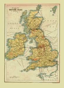
.jpg "Mapa Wielkiej Brytanii, ilustrująca zagrożoną inwazję Napoleona Bonaparte (1769-1821) 1803 (kolor lito)")
_(Engraving_-_(MeisterDrucke-949057).jpg "Mapa królestw Anglii, Szkocji i Irlandii (Wielka Brytania)")
.jpg "Praehagrafia Anglii, będąca mapą tego Królestwa ilustrującą główne bitwy w nim stoczone, wyd. 1807")
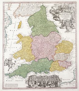
.jpg "Mapa Wielkiej Brytanii i Irlandii, wydana w Paryżu w 1640 roku")
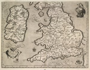

.jpg "Mapa Królestwa Anglii pod panowaniem Jakuba II (Grawerowanie")
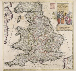
.jpg "Nowa mapa Królestwa Anglii i Księstwa Walii, 1669")
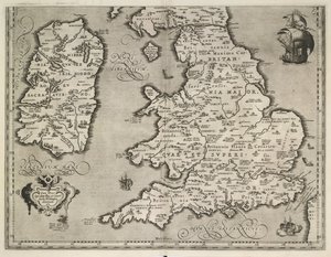
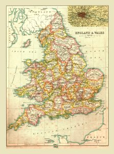
.jpg "Próbnik przedstawiający mapę Anglii i Walii, łańcuszek, podwójny tył i satynowy ścieg, Ann Seaton z Lincoln, 1798")
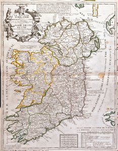
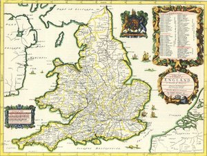
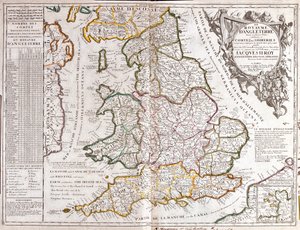
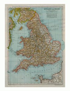


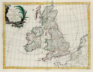
.jpg "Wyspy Brytyjskie, w tym Królestwa Anglii, Szkocji i Irlandii, z \"Atlas de Toutes les Parties Connues du Globe Terrestre\" Guillaume Raynal (1713-96) opublikowane 1780 (kolorowe ryciny)")

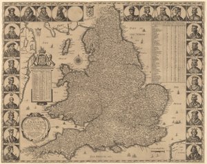

.jpg "Mapa wschodniego Londynu, tablice 20-21, z „Cary")
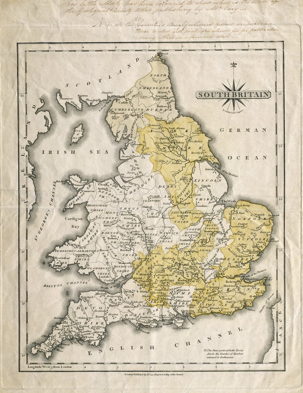
.jpg "Mapa południowej Wielkiej Brytanii, pokolorowana, aby pokazać interesujące obszary geologiczne, z adnotacjami Williama Smitha (1769-1839)")
.jpg "Nowa mapa Turcji w Azji, podzielona na jej prowincje, od najlepszych autorytetów.")
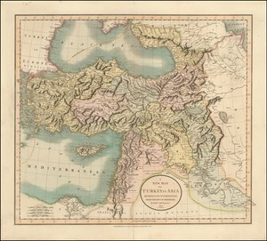
.jpg "Nowa mapa Turcji w Azji")
 1500 (gouache and pen and ink on paper) - (MeisterDrucke-112423).jpg "Mapa krajów odkrytych jako pierwsze przez Krzysztofa Kolumba (1451-1506), 1500")

.jpg "Mapa Belluno, z «Les Villes de Venetie», 1704, wydana przez Pierre")
 (see also 330947) - (MeisterDrucke-79815).jpg "Kontynent Afryki, z atlasu świata w 33 mapach, Wenecja, 1 września 1553")
.jpg "Mapa Berlina, wydrukowana przez C.L. Kellera, Berlin, 1890")

.jpg "Mapa Wandei przedstawiająca obszar powstania w Wandei (1793-96) w marcu 1793 roku, około 1815")
 from the Theatre des guerres entre le roy dEspagne et les Estats de Hollande (known as the Atlas de Richelieu - (MeisterDrucke-187666).jpg "Mapa Belgii w czasie wojny trzydziestoletniej (1618-48), z „Theater des guerres entre le roy d")
.jpg "Mapa Londynu, pokazująca ogród z przynętami niedźwiedzi w Southwark, ok. 1561 r.")



.jpg "Kwitnący kasztanowiec")
.jpg "Plaża Shichiri w prowincji Sagami")
.jpg "Dwaj jeźdźcy na plaży")

.jpg "Sen architekta")
.jpg "Grace czytająca w zatoce Howth")
.jpg "Po wichurze, 1903")
.jpg "Młoda dziewczyna broniąca się przed Erosem")
.jpg "Rosa damascena, Rosier de Cels, z Les Roses, 1817-24")

 +43 4257 29415
 support@meisterdrucke.com
 Mo-Do: 7:00 - 16:00 | Fr: 7:00 - 13:00