-
 ×
- Strona główna
- Wydruki ▸
- Artyści ▸
- Kategorie ▸
- Style sztuki ▸
- Rama ▸
- Nośniki druku ▸
- Wszystkie nośniki druku
- Płótno Leonardo (satyna)
- Płótno Salvador (matowe)
- Płótno Rafael (matowe)
- FineArt - Foto matowy
- FineArt - Foto satyna
- FineArt - Foto baryt
- FineArt - Foto błyszczący
- Tektura akwarelowa Munch
- Tektura akwarelowa Renoir
- Tektura akwarelowa Turner
- Tektura akwarelowa Dürer
- Natural Line Hemp
- Natural Line Rice
- Kozo White, 110g
- Kozo Natural, 110g
- Inbe White, 125g
- Unryu, 55g
- Bamboo, 110g
- Premio Unryu, 165g
- Murakumo Natural, 42g
- Bizan Natural, 300g
- Bizan White, 300g
- Kompozyt aluminiowy 3mm
- Szkło akrylowe 5mm
- Zamów zestaw próbek
- Które medium druku pasuje?
Płótno
Papier fotograficzny
Karton akwarelowy
Natural Line
Papier japoński
Media specjalne
Więcej informacji
- Pomoc i serwis ▸
- Skontaktuj się z nami
- Sprzedaj swoją sztukę
- Najczęściej zadawane pytania
- Oferty pracy
- Reklamacja
- Zamów próbki
- Zamów vouchery
- Koszty wysyłki
- Czas produkcji
- Zrównoważony rozwój
- Wyszukiwanie obrazów
- Specjalne życzenia
- Kim jesteśmy?
- Polityka cenowa
- Polityka firmy
- Obietnica jakości
- Wyróżnienia
- Blejtram
- Passe-partout
- Ramki dekoracyjne
- Szklenie
- Listwy
- Systemy montażowe
- Nośniki druku
- Wskazówki pielęgnacyjne
- Stopka redakcyjna
- Regulamin
- Ochrona danych
- Prawo do odstąpienia od umowy
Informacje i usługi
Więcej informacji
Warto wiedzieć
Informacje prawne
- Sklep ▸
- Kontakt





 Zobacz w 3D / AR
 Dodaj do ulubionych
 Wybierz kolor ściany
 Widok obrazu w pomieszczeniu
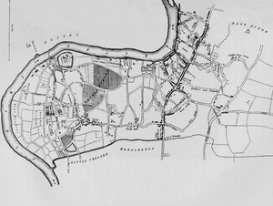
.jpg "Plan Ile d")
.jpg "Mapa Petersburga, ok. 1750")
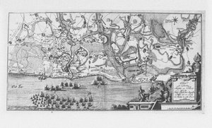
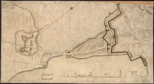
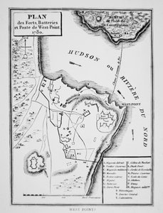
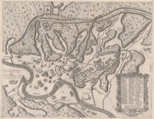
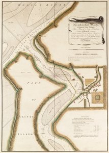
.jpg "Plan miasta Sydney, z Voyage Autour du Monde (1817-20), opublikowany w latach 1822-24")
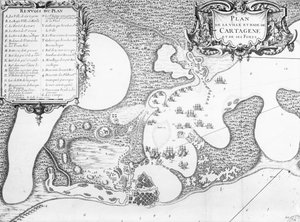

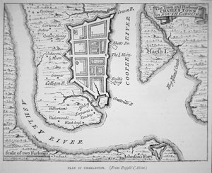
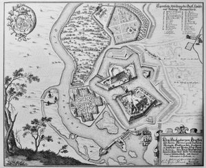
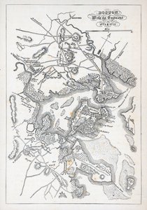
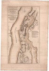
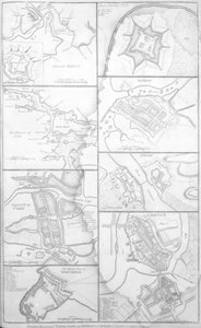
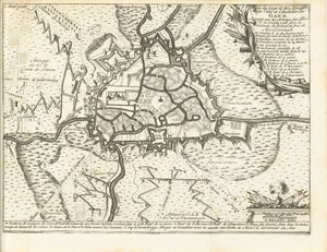
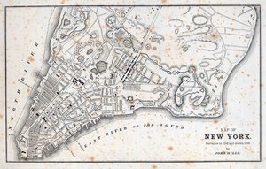
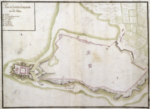
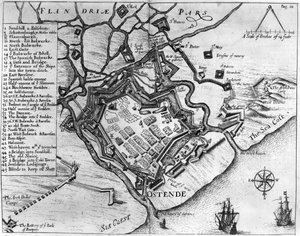
_-_Beleg_van_Bonn_1703Plan_de_la_Ville_de_Bonne_et_du_Fort_de_Bourgogne_()_(title_o_-_(MeisterDrucke-1327941).jpg "Beleg van Bonn, 1703 Mapa miasta Bonne i fortu Burgundia (...) (tytuł na obiekcie)")
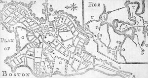
.jpg "Plan bitwy pod Minden, narysowany przez kapitana Williama Roya i wygrawerowany przez Thomasa Majora, 1760")
.jpg "(Plan miasta i portu St. Augustine. LOC 75693262")
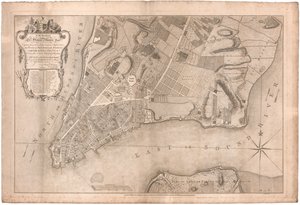
 - (MeisterDrucke-86163).jpg "Karta 99: mapa Saint-Savinien nad rzeką Charente w 1713 roku, z „Recueil des Plans de Saintonge”")
.jpg "Kościół i domek z oświetlonymi oknami")
.jpg "Portret króla Ryszarda III")
 c1740-50 - (MeisterDrucke-77045).jpg "Kidbrooke Park, Kent, dawniej przypisywany George")
.jpg "Szczegółowa mapa półwyspu Gallipoli i Dardaneli w Turcji, 1915, z „The War Illustrated Album deLuxe”, opublikowanego w Londynie w 1916")

.jpg "Mapa świata z posiadłościami Imperium Brytyjskiego zaznaczonymi na czerwono, ok. 1870")
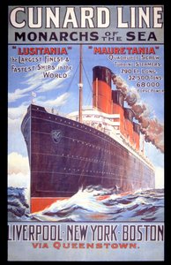

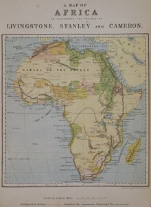
.jpg "Mapa angielskich kolonii na Karaibach, wyd. Homanns Heirs, Norymberga, ok. 1750 (szczegóły patrz 101837-38)")
.jpg "Ms 255171 fol. 88 Mapa wsi Belchamp St. Paul, 1576")
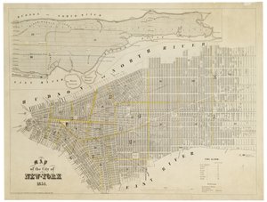
 - (MeisterDrucke-39312).jpg "Mapa południowego West-Point w stanie Wirginia z")
.jpg "Mapa okolic Sainte-Genevieve, Paryż, 1756 r.")
.jpg "Mapa przedstawiająca siedziby plemion indiańskich w USA w 1833 roku, ilustracja z")
 - (MeisterDrucke-112095).jpg "Mappa Mundi, 1502")
.jpg "Mapa Śląska, z atlasu")
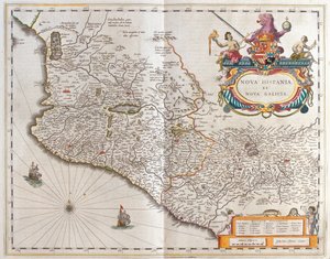
 - (MeisterDrucke-104412).jpg "Mapa Moluków, 1522")

.jpg "Szkicowa mapa Australii pokazująca położenie Trasy Pana Stuarta, 1864 r.")
 - (MeisterDrucke-148735).jpg "Mapa Kanady, opublikowana Paryż, 1703 (rycina ręcznie kolorowana)")
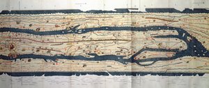
 - (MeisterDrucke-40548).jpg "Mapa Sussex (ręcznie kolorowe grawerowanie)")
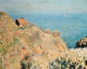
.jpg "Sen")
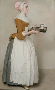
.jpg "Kirke, ok. 1889")
.jpg "Czerwone drzewo")
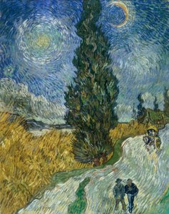
.jpg "Erupcja Wezuwiusza")
.jpg "Drzewa i poszycie leśne, 1887")
.jpg "Pejzaż zimowy, 1835-8")
.jpg "Plakat reklamowy «Maurin Quina», Le Puy, Francja")
 Surrounded by her Ladies-in-Waiting 1855 - (MeisterDrucke-100747).jpg "Cesarzowa Eugenia (1826-1920) otoczona damami dworu, 1855")
.jpg "Kirke ofiarowuje puchar Odyseuszowi, 1891")
.jpg "Gryf zwrócony ku tronowi, Sala Tronowa, Knossos, Kreta 1550-1450 p.n.e.")
.jpg "Południe, czyli Sjesta, według Milleta, 1890")

 +43 4257 29415
 support@meisterdrucke.com
 Mo-Do: 7:00 - 16:00 | Fr: 7:00 - 13:00