-
 ×
- Strona główna
- Wydruki ▸
- Artyści ▸
- Kategorie ▸
- Style sztuki ▸
- Rama ▸
- Nośniki druku ▸
- Wszystkie nośniki druku
- Płótno Leonardo (satyna)
- Płótno Salvador (matowe)
- Płótno Rafael (matowe)
- FineArt - Foto matowy
- FineArt - Foto satyna
- FineArt - Foto baryt
- FineArt - Foto błyszczący
- Tektura akwarelowa Munch
- Tektura akwarelowa Renoir
- Tektura akwarelowa Turner
- Tektura akwarelowa Dürer
- Natural Line Hemp
- Natural Line Rice
- Kozo White, 110g
- Kozo Natural, 110g
- Inbe White, 125g
- Unryu, 55g
- Bamboo, 110g
- Premio Unryu, 165g
- Murakumo Natural, 42g
- Bizan Natural, 300g
- Bizan White, 300g
- Kompozyt aluminiowy 3mm
- Szkło akrylowe 5mm
- Zamów zestaw próbek
- Które medium druku pasuje?
Płótno
Papier fotograficzny
Karton akwarelowy
Natural Line
Papier japoński
Media specjalne
Więcej informacji
- Pomoc i serwis ▸
- Skontaktuj się z nami
- Sprzedaj swoją sztukę
- Najczęściej zadawane pytania
- Oferty pracy
- Reklamacja
- Zamów próbki
- Zamów vouchery
- Koszty wysyłki
- Czas produkcji
- Zrównoważony rozwój
- Wyszukiwanie obrazów
- Specjalne życzenia
- Kim jesteśmy?
- Polityka cenowa
- Polityka firmy
- Obietnica jakości
- Wyróżnienia
- Blejtram
- Passe-partout
- Ramki dekoracyjne
- Szklenie
- Listwy
- Systemy montażowe
- Nośniki druku
- Wskazówki pielęgnacyjne
- Stopka redakcyjna
- Regulamin
- Ochrona danych
- Prawo do odstąpienia od umowy
Informacje i usługi
Więcej informacji
Warto wiedzieć
Informacje prawne
- Sklep ▸
- Kontakt





 Zobacz w 3D / AR
 Dodaj do ulubionych
 Wybierz kolor ściany
 Widok obrazu w pomieszczeniu

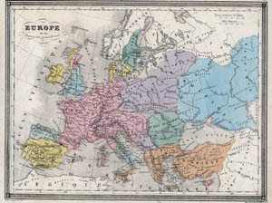
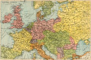
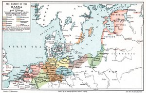
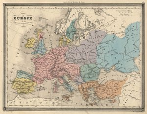
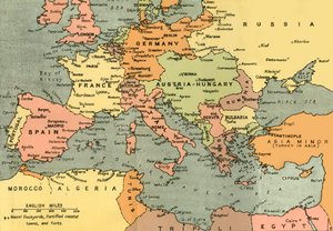
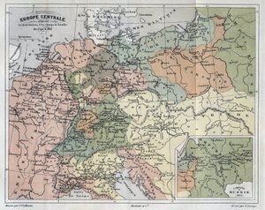
.jpg "Imperium Karola Wielkiego, z Atlas Historique et Picturesque, autorstwa M J-H Schnitzlera, 1857")
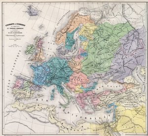
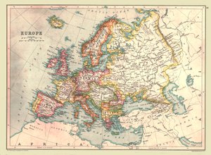
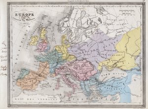
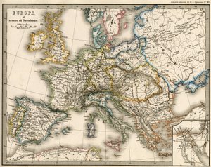
.jpg "Kraje podróżowane przez apostołów i ukazujące podróże św. Pawła między Azją a Europą")
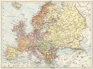
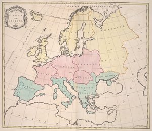
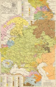
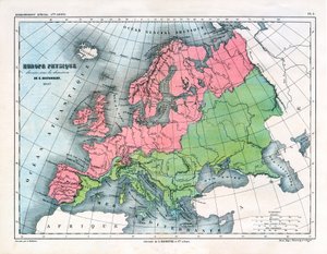
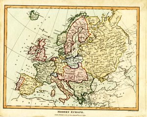
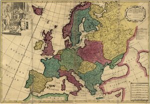
.jpg "Johnson")
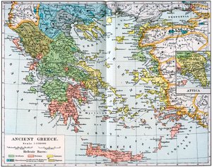
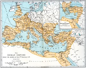
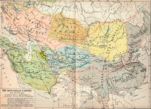
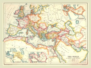
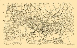
.jpg "Nowa uniwersalna geografia")
.jpg "Kościół i domek z oświetlonymi oknami")
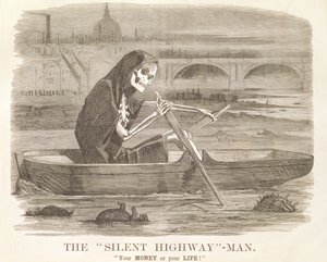
.jpg "Portret króla Ryszarda III")
 c1740-50 - (MeisterDrucke-77045).jpg "Kidbrooke Park, Kent, dawniej przypisywany George")
.jpg "Szczegółowa mapa półwyspu Gallipoli i Dardaneli w Turcji, 1915, z „The War Illustrated Album deLuxe”, opublikowanego w Londynie w 1916")

.jpg "Mapa świata z posiadłościami Imperium Brytyjskiego zaznaczonymi na czerwono, ok. 1870")
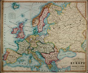
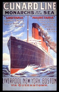
.jpg "Mapa świata, z „Le Theatre du Monde” lub „Nouvel Atlas”, 1645")
.jpg "Fragment Prawego Brzegu, z mapy Paryża z ok. 1540 r., znanej jako Plan de la Tapisserie, wykonanej jako gobelin ok. 1570 r., rycina kolorowa z 1818 r.")
 - (MeisterDrucke-199708).jpg "Mapa bitew pod Turcoing und Tournay, opublikowana przez Williama Blackwooda i Synów, Edynburg i Londyn, 1848 (rycina ręcznie kolorowana)")
 - (MeisterDrucke-210107).jpg "Mapa Afryki Wschodniej i Madagaskaru, 1596 (ręcznie kolorowane grawerowanie)")

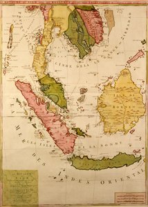
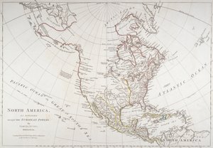

 - (MeisterDrucke-137051).jpg "Mapa Rhode Island, z „wojny amerykańskiej”, ok. 1780-81 (kolor grawerowany)")
.jpg "Mapa świata, 1486")
.jpg "Mapa Europy, 1841")

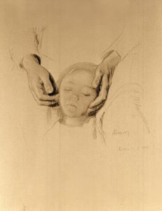
.jpg "Joanna d")
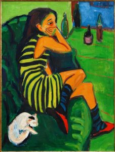
.jpg "Dżokej na galopującym koniu, tablica 627 z Animal Locomotion, 1887")
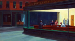
.jpg "Drabina Jakubowa")
.jpg "Morze ma swoje perły")
.jpg "Śpiący Jezus, czyli Madonna trzymająca śpiące Dzieciątko, w towarzystwie trzech aniołów, 1532")
.jpg "Kry lodowe w Bennecourt")
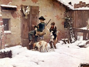
.jpg "Po wichurze, 1903")
.jpg "Bal w Moulin de la Galette")
.jpg "Sianokosy")

 +43 4257 29415
 support@meisterdrucke.com
 Mo-Do: 7:00 - 16:00 | Fr: 7:00 - 13:00