-
 ×
- Strona główna
- Wydruki ▸
- Artyści ▸
- Kategorie ▸
- Style sztuki ▸
- Rama ▸
- Nośniki druku ▸
- Wszystkie nośniki druku
- Płótno Leonardo (satyna)
- Płótno Salvador (matowe)
- Płótno Rafael (matowe)
- FineArt - Foto matowy
- FineArt - Foto satyna
- FineArt - Foto baryt
- FineArt - Foto błyszczący
- Tektura akwarelowa Munch
- Tektura akwarelowa Renoir
- Tektura akwarelowa Turner
- Tektura akwarelowa Dürer
- Natural Line Hemp
- Natural Line Rice
- Kozo White, 110g
- Kozo Natural, 110g
- Inbe White, 125g
- Unryu, 55g
- Bamboo, 110g
- Premio Unryu, 165g
- Murakumo Natural, 42g
- Bizan Natural, 300g
- Bizan White, 300g
- Kompozyt aluminiowy 3mm
- Szkło akrylowe 5mm
- Zamów zestaw próbek
- Które medium druku pasuje?
Płótno
Papier fotograficzny
Karton akwarelowy
Natural Line
Papier japoński
Media specjalne
Więcej informacji
- Pomoc i serwis ▸
- Skontaktuj się z nami
- Sprzedaj swoją sztukę
- Najczęściej zadawane pytania
- Oferty pracy
- Reklamacja
- Zamów próbki
- Zamów vouchery
- Koszty wysyłki
- Czas produkcji
- Zrównoważony rozwój
- Wyszukiwanie obrazów
- Specjalne życzenia
- Kim jesteśmy?
- Polityka cenowa
- Polityka firmy
- Obietnica jakości
- Wyróżnienia
- Blejtram
- Passe-partout
- Ramki dekoracyjne
- Szklenie
- Listwy
- Systemy montażowe
- Nośniki druku
- Wskazówki pielęgnacyjne
- Stopka redakcyjna
- Regulamin
- Ochrona danych
- Prawo do odstąpienia od umowy
Informacje i usługi
Więcej informacji
Warto wiedzieć
Informacje prawne
- Sklep ▸
- Kontakt





 Zobacz w 3D / AR
 Dodaj do ulubionych
 Wybierz kolor ściany
 Widok obrazu w pomieszczeniu
.jpg "Szkicowa mapa Australii pokazująca położenie Trasy Pana Stuarta, 1864 r.")
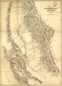
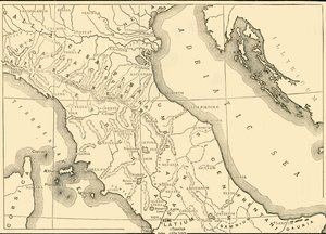
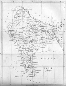
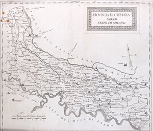
.jpg "Szczegółowa mapa półwyspu Gallipoli i Dardaneli w Turcji, 1915, z „The War Illustrated Album deLuxe”, opublikowanego w Londynie w 1916")
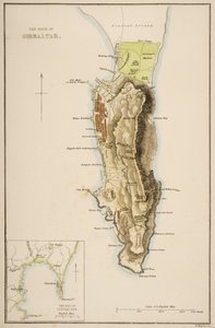

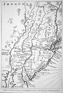
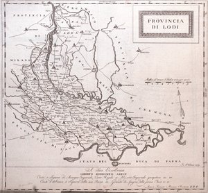
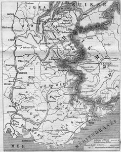
.jpg "Mapa wschodnich terytoriów Republiki Meksyku w stanie z 1862 r., z „Muzeum Uniwersalnego”, opublikowana w 1862 r.")
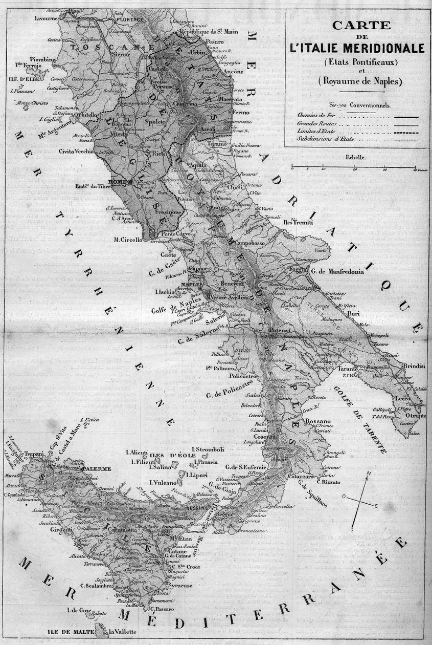
.jpg "Fragment mapy geograficznej przedstawiającej południowe Włochy (regiony Kampania, Kalabria, Sycylia, Apulia, Molise i Abruzja). XIX wiek")
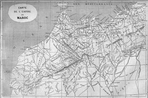
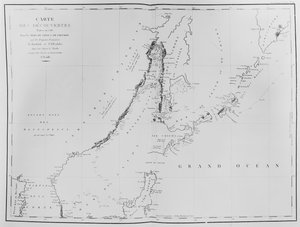
.jpg "Nowy Atlas Chin, Chiński Tatar i Tybet, Haga 1737.")


 published 1780 - (MeisterDrucke-71965).jpg "Wyspa Martyniki, z „Atlasu Wszystkich Znanych Części Globu Ziemskiego” Guillaume")

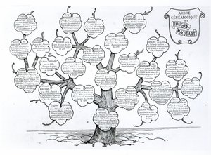
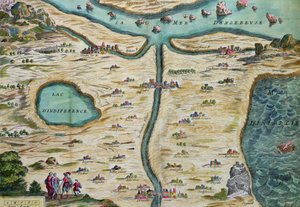
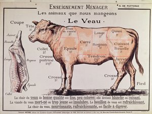
.jpg "Wołowina: schemat przedstawiający różne kawałki mięsa")
.jpg "Tarcza Achillesa według opisu w Iliadzie Homera, 1815")


.jpg "„Człowiek o sześciu głowach”, karykatura Charlesa Maurice")

.jpg "Erupcja Wezuwiusza")

.jpg "Sheerness widziane od strony Nore")
.jpg "Mapa bitwy pod Trafalgarem, wydana przez William Blackwood and Sons, Edynburg i Londyn, 1848")
.jpg "Słońce szybko zachodzi na zachodzie")
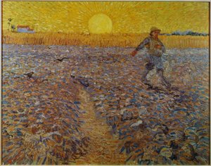
.jpg "Wiosna, dziewczyna zbierająca kwiaty, z willi Varano w Stabiach, ok. 15 p.n.e.-60 n.e.")
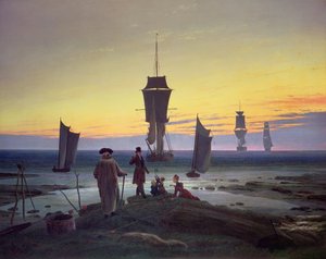
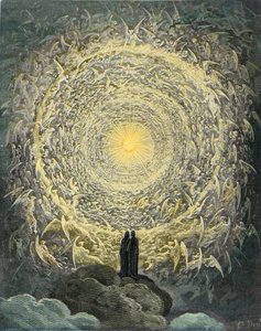
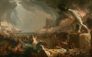
.jpg "Sadko")
.jpg "Przecinające się linie, 1923")

 +43 4257 29415
 support@meisterdrucke.com
 Mo-Do: 7:00 - 16:00 | Fr: 7:00 - 13:00