-
 ×
- Strona główna
- Wydruki ▸
- Artyści ▸
- Kategorie ▸
- Style sztuki ▸
- Rama ▸
- Nośniki druku ▸
- Wszystkie nośniki druku
- Płótno Leonardo (satyna)
- Płótno Salvador (matowe)
- Płótno Rafael (matowe)
- FineArt - Foto matowy
- FineArt - Foto satyna
- FineArt - Foto baryt
- FineArt - Foto błyszczący
- Tektura akwarelowa Munch
- Tektura akwarelowa Renoir
- Tektura akwarelowa Turner
- Tektura akwarelowa Dürer
- Natural Line Hemp
- Natural Line Rice
- Kozo White, 110g
- Kozo Natural, 110g
- Inbe White, 125g
- Unryu, 55g
- Bamboo, 110g
- Premio Unryu, 165g
- Murakumo Natural, 42g
- Bizan Natural, 300g
- Bizan White, 300g
- Kompozyt aluminiowy 3mm
- Szkło akrylowe 5mm
- Zamów zestaw próbek
- Które medium druku pasuje?
Płótno
Papier fotograficzny
Karton akwarelowy
Natural Line
Papier japoński
Media specjalne
Więcej informacji
- Pomoc i serwis ▸
- Skontaktuj się z nami
- Sprzedaj swoją sztukę
- Najczęściej zadawane pytania
- Oferty pracy
- Reklamacja
- Zamów próbki
- Zamów vouchery
- Koszty wysyłki
- Czas produkcji
- Zrównoważony rozwój
- Wyszukiwanie obrazów
- Specjalne życzenia
- Kim jesteśmy?
- Polityka cenowa
- Polityka firmy
- Obietnica jakości
- Wyróżnienia
- Blejtram
- Passe-partout
- Ramki dekoracyjne
- Szklenie
- Listwy
- Systemy montażowe
- Nośniki druku
- Wskazówki pielęgnacyjne
- Stopka redakcyjna
- Regulamin
- Ochrona danych
- Prawo do odstąpienia od umowy
Informacje i usługi
Więcej informacji
Warto wiedzieć
Informacje prawne
- Sklep ▸
- Kontakt





 Zobacz w 3D / AR
 Dodaj do ulubionych
 Wybierz kolor ściany
 Widok obrazu w pomieszczeniu
.jpg "Monarchia Bawarska")
.jpg "Księstwo Wirtenbergii")
.jpg "Mapa topograficzna Sto mil kwadratowych wokół Berlina")
_Belgium_(Region_Fland_-_(MeisterDrucke-1527536).jpg "Francja (region: Nord-Pas-de-Calais, Górna Normandia, Pikardia) Belgia (region: Flandria)")
_and_Flanders_(Belgium_Netherlands)_(Engraving_-_(MeisterDrucke-1025370).jpg "Mapa Artois (Francja) i Flandrii (Belgia, Holandia) (Grawerowanie")
.jpg "Bez tytułu mapa Brabancji: Belgia i Holandia (rycina")
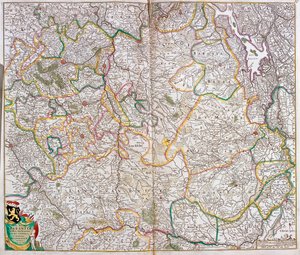
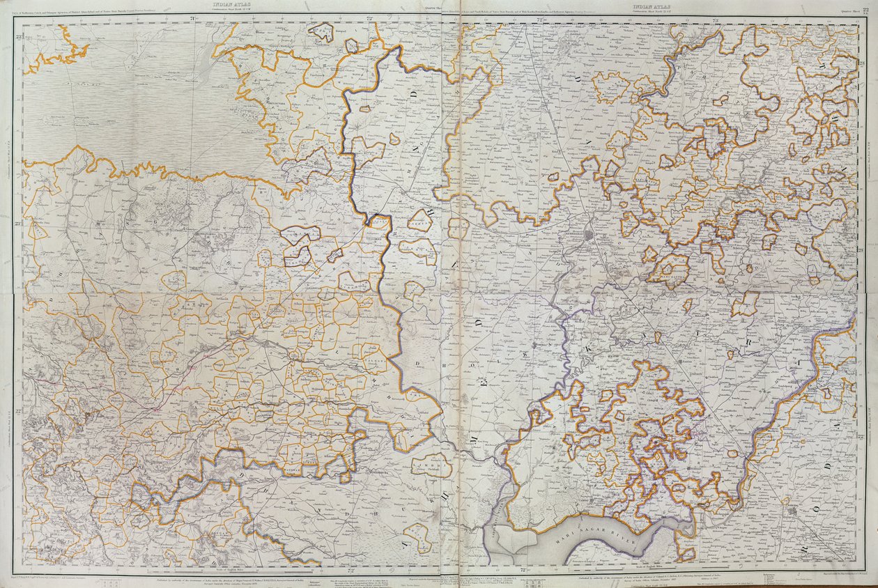
.jpg "Mapa Cutch i Kathiawar, opublikowana pod kierownictwem pułkownika G.C. de Pree, SC, Główny Geodeta Indii, 1885")
_(etching_-_(MeisterDrucke-982833).jpg "Mapa Księstwa Brabancji (Belgia, Holandia) (akwaforta)")
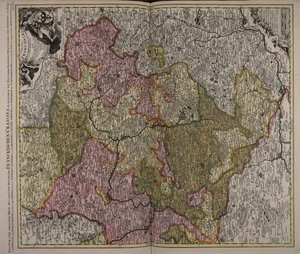
_(Engraving_-_(MeisterDrucke-1005276).jpg "Mapa Bawarii (Niemcy) (Grawerowanie")
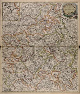
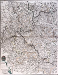
_(Engraving_-_(MeisterDrucke-1025385).jpg "Mapa prowincji Lotaryngia (Francja) (Grawerowanie")
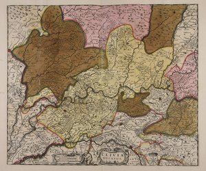
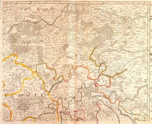
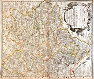
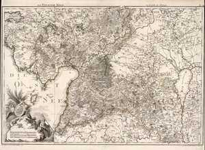
_Germany_(State_Rh_-_(MeisterDrucke-1532630).jpg "Francja (region: Szampania-Ardeny, Lotaryngia, Alzacja, Franche-Comté), Niemcy (kraj związkowy: Nadrenia-Palatynat, Saara)")
 - (MeisterDrucke-40906).jpg "Mapa Afganistanu, 1898")
_(Engraving_-_(MeisterDrucke-982995).jpg "Mapa Luksemburga i diecezji Trewiru (Niemcy)")
.jpg "Mapa geologiczna Czech, okolic Teplic do Liberca")
.jpg "Teatr wojny we Włoszech, 1720")
 og viser Sr-Norge - (MeisterDrucke-543148).jpg "Mapa została opublikowana w Oslo (1845) i przedstawia południową Norwegię")
.jpg "Stanfords Mapa Indii, 1872")
.jpg "Kościół i domek z oświetlonymi oknami")
.jpg "Portret króla Ryszarda III")
 c1740-50 - (MeisterDrucke-77045).jpg "Kidbrooke Park, Kent, dawniej przypisywany George")
 plate 284 from Will - (MeisterDrucke-414165).jpg "Róża wiecznie kwitnąca (Rosa semperflorens), tablica 284 z The Botanical Magazine Williama Curtisa (lub Flower Garden Displayed), opublikowano w 1794")
.jpg "Mapa świata z posiadłościami Imperium Brytyjskiego zaznaczonymi na czerwono, ok. 1870")
.jpg "Szczegółowa mapa półwyspu Gallipoli i Dardaneli w Turcji, 1915, z „The War Illustrated Album deLuxe”, opublikowanego w Londynie w 1916")
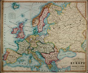

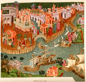
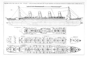
 - (MeisterDrucke-111556).jpg "Atlas 131 F fol. 2, mapa Bas-Poitou, Pays d")
.jpg "Mapa Paryża, 1620")

.jpg "Mapa ukazująca przejście cienia Księżyca nad Anglią 22 kwietnia 1715, rytowana przez Johna Senexa, 1715")
.jpg "Mapa Kanału Sueskiego, ok. 1870")
 - (MeisterDrucke-176462).jpg "Mapa bitwy pod Wagram, wydana przez William Blackwood and Sons, Edynburg i Londyn, 1848")

.jpg "Mapa nr 4 przedstawiająca trasę floty Armady, rytowana przez Augustine")
.jpg "Mapa nr 6 przedstawiająca trasę floty Armady, rytowana przez Augustine’a Rythera, 1588")
.jpg "Część Australii Południowej, z serii map świata opublikowanej przez Johna Tallisa und Co, Nowy Jork i Londyn, lata 50. XIX wieku")
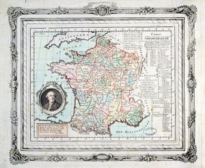
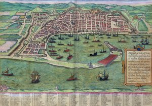
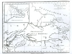
.jpg "Mapa Królestwa Szkocji, XVII wiek, Scotia Regnum, pod wpływem atlasu Merkatora")
.jpg "Fol.56v Mapa Florydy, Kanady i Labradoru, z „Cosmographie Universelle”, 1555")
 - (MeisterDrucke-604150).jpg "Narodziny Wenus (edycja)")
.jpg "Goździk, lilia, lilia, róża")
.jpg "Stojąca kobieta w czerwieni")
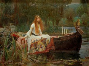
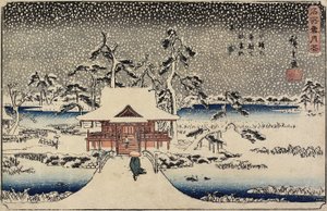
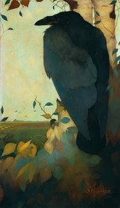
 - (MeisterDrucke-24669).jpg "Duch geniusza")
.jpg "Po kąpieli, 1890")
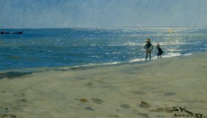
.jpg "Portret filozofa i ezoteryka Rudolfa Steinera")

 +43 4257 29415
 support@meisterdrucke.com
 Mo-Do: 7:00 - 16:00 | Fr: 7:00 - 13:00