-
 ×
- Strona główna
- Wydruki ▸
- Artyści ▸
- Kategorie ▸
- Style sztuki ▸
- Rama ▸
- Nośniki druku ▸
- Wszystkie nośniki druku
- Płótno Leonardo (satyna)
- Płótno Salvador (matowe)
- Płótno Rafael (matowe)
- FineArt - Foto matowy
- FineArt - Foto satyna
- FineArt - Foto baryt
- FineArt - Foto błyszczący
- Tektura akwarelowa Munch
- Tektura akwarelowa Renoir
- Tektura akwarelowa Turner
- Tektura akwarelowa Dürer
- Natural Line Hemp
- Natural Line Rice
- Kozo White, 110g
- Kozo Natural, 110g
- Inbe White, 125g
- Unryu, 55g
- Bamboo, 110g
- Premio Unryu, 165g
- Murakumo Natural, 42g
- Bizan Natural, 300g
- Bizan White, 300g
- Kompozyt aluminiowy 3mm
- Szkło akrylowe 5mm
- Zamów zestaw próbek
- Które medium druku pasuje?
Płótno
Papier fotograficzny
Karton akwarelowy
Natural Line
Papier japoński
Media specjalne
Więcej informacji
- Pomoc i serwis ▸
- Skontaktuj się z nami
- Sprzedaj swoją sztukę
- Najczęściej zadawane pytania
- Oferty pracy
- Reklamacja
- Zamów próbki
- Zamów vouchery
- Koszty wysyłki
- Czas produkcji
- Zrównoważony rozwój
- Wyszukiwanie obrazów
- Specjalne życzenia
- Kim jesteśmy?
- Polityka cenowa
- Polityka firmy
- Obietnica jakości
- Wyróżnienia
- Blejtram
- Passe-partout
- Ramki dekoracyjne
- Szklenie
- Listwy
- Systemy montażowe
- Nośniki druku
- Wskazówki pielęgnacyjne
- Stopka redakcyjna
- Regulamin
- Ochrona danych
- Prawo do odstąpienia od umowy
Informacje i usługi
Więcej informacji
Warto wiedzieć
Informacje prawne
- Sklep ▸
- Kontakt





 Zobacz w 3D / AR
 Dodaj do ulubionych
 Wybierz kolor ściany
 Widok obrazu w pomieszczeniu
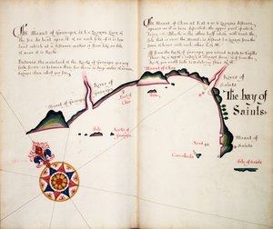
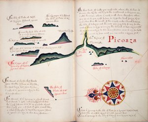
.jpg "Liście 3v i 4r, z Divers Voyages Touching the Discouerie of America... 1582 (druk typograficzny)")
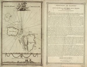
.jpg "Mapa wybrzeża Nowej Zelandii, ilustracja z Dziennika podróży na morza południowe : na statku Jego Królewskiej Mości, The Endeavour, 1794 (kolorowane ręcznie)")
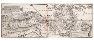
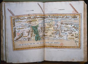
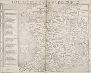
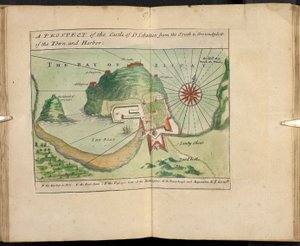
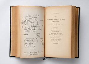
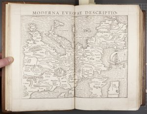
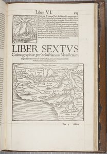
.jpg "Pierwsza mapa Europy z „Dzieła geograficznego, ostatniej transdukcji Greków z najbardziej rygorystycznie wytłoczonymi oryginałami”, wydrukowana przez Johanna Scotta w 1513 r.")
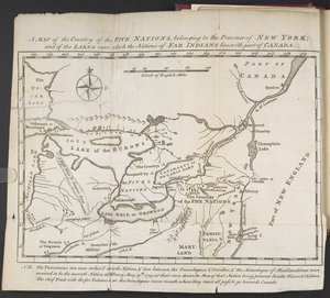
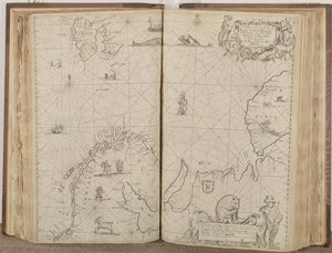
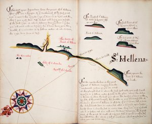
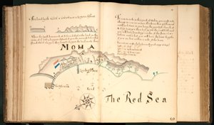
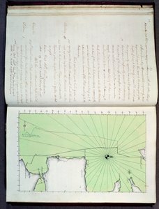
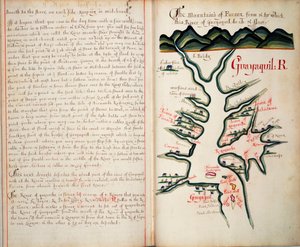
.jpg "Bound Volume, Recueil des Ouvrages en Serrurerie ... sur place Royale de Nancy (zbiór projektów ślusarskich dla Pałacu Królewskiego w Nancy)")
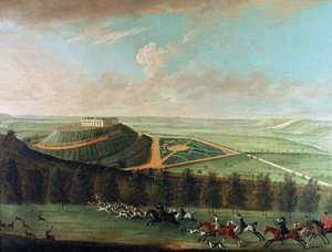
.jpg "Broome, siedziba Sir Basila Dixwella, z \"Thirty Six Different Views of Noblemen and Gentlemen")
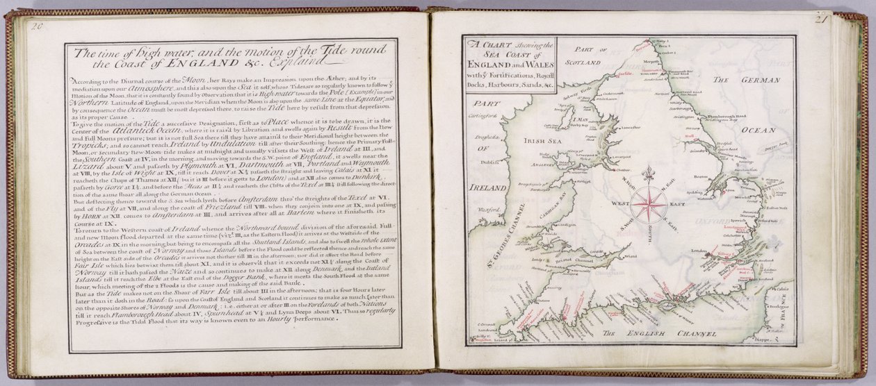
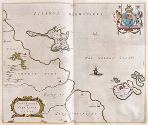
 - (MeisterDrucke-41908).jpg "Mapa wybrzeża Anglii i Walii, tablica z ’A Compleat Sett of Mapps of England and Wales in General...’, 1724")
.jpg "Tunbridge Wells, z „Trzydziestu sześciu różnych poglądów na miejsca szlachty i dżentelmenów w hrabstwie Kent”, autorstwa Thomasa Badeslade")
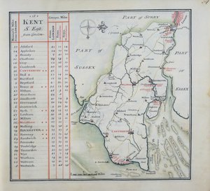
.jpg "Strona tytułowa pełnego zestawu map Anglii i Walii w ogóle..., 1724 (pióro i atrament i toaleta na papierze)")
 engraved by Johannes Kip (c1652-1722) published c1750 (en - (MeisterDrucke-133065).jpg "Tunbridge Wells, z „Trzydziestu sześciu różnych poglądów na miejsca szlachty i dżentelmenów w hrabstwie Kent”, autorstwa Thomasa Badeslade")
.jpg "Przednia okładka Kompletny zestaw map Anglii i Walii w ogóle..., 1724 (skóra)")
.jpg "Zachodni widok na Knole, z \"Trzydziestu sześciu różnych widoków siedzib szlacheckich i dżentelmeńskich w hrabstwie Kent\", rytowany przez I. Kipa, ok. 1750 r.")
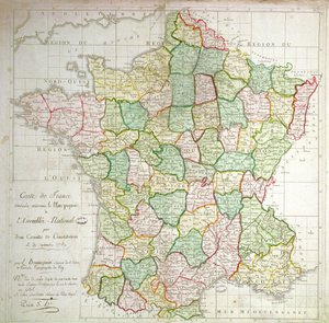

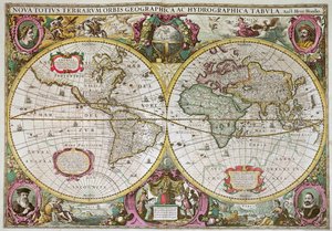
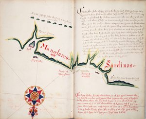
.jpg "Karta 31v Mapa Australii i Wyspy Magellana z „Cosmographie Universelle”, 1555")
 - (MeisterDrucke-105840).jpg "Mapa imperium Aleksandra Wielkiego, z «Abrahami Ortelli theatri orbis terrarum parergon», wydanego w Antwerpii w 1674 (detal)")
 (see also 164768) - (MeisterDrucke-64887).jpg "Mapa Nowej Francji dedykowana Colbertowi przez intendenta Duchesneau, 1681 (detal)")
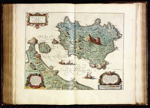
.jpg "Mapa Korsyki")
 - (MeisterDrucke-78391).jpg "Mapa świata")
.jpg "Kartusz Quebecu z «Carte de l")
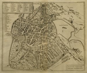
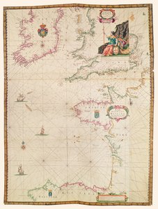
.jpg "Mapa transportowa Londynu, ok. 1915 r")
.jpg "Mapa bitwy pod Lützen, wydana przez William Blackwood and Sons, Edynburg i Londyn, 1848")


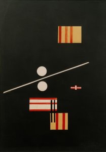
.jpg "Na białym II, 1923")
.jpg "Studium plaży")
 - (MeisterDrucke-173228).jpg "Małpa na drzewie kaki, 1935")
.jpg "Le Lavandou")
.jpg "Walcownia żelaza")
.jpg "Wyspa umarłych")
 1573 - (MeisterDrucke-92540).jpg "Jesień, z serii przedstawiającej cztery pory roku, zamówionej przez cesarza Maksymiliana II (1527-76), 1573")

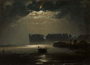
.jpg "Żaglowce")

 +43 4257 29415
 support@meisterdrucke.com
 Mo-Do: 7:00 - 16:00 | Fr: 7:00 - 13:00